Droughts differ from one another in three essential ways: intensity, duration and spatial coverage. Intensity refers to the degree of precipitation shortfall and/or the severity of impacts associated with the shortfall. It is generally measured by the departure of some climatic index from normal and is closely linked to duration, another distinguishing feature of drought, in the determination of impact.
Droughts also differ in terms of their spatial characteristics. Drought impacts are closely related not only to the magnitude of the event, but also to the timing of the onset, duration and spatial extent. The spatial and temporal characteristics of drought affect planning and responses. As vulnerability to drought has increased globally, greater attention has been directed to reducing risks associated with its occurrence through the introduction of planning to improve operational capabilities (i.e. climate and water supply monitoring, building institutional capacity) and mitigation measures that are aimed at reducing drought impacts. Also, soil characteristics and water management practices in the catchment areas indicate drought impacts.
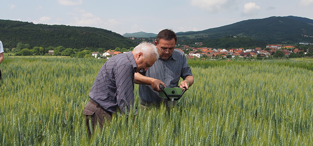
Collecting and analysing data through demonstration projects is the most effective approach and contributes to the enhancement of knowledge and capacity development. The IDMP CEE will elaborate several demonstration projects, focusing on different aspects of drought management and covering different sectors (i.e. water, agriculture, forestry, meteorology).
Activity 5.1: Experimental field research on increasing soil-water holding capacity in agriculture
Activity 5.2: Assessment of drought impact on forest ecosystems
Activity 5.3: Natural small water retention measures
Activity 5.4: Drought Risk Management Scheme: a decision support system
Activity 5.5: Policy-oriented study on remote sensing agricultural drought monitoring methods
