The Integrated Management Plan for the Damour area in Lebanon, developed within the framework of the GEF UNEP/MAP MedProgramme, aims to ensure sustainable water management for the Damour River Basin by addressing the linkages between land, water, delta, estuary, coast, nearshore and ocean ecosystems leading to holistic natural resources management and economic development.
The Damour municipality is located on Lebanon’s coast between Beirut and Saida and covers an area of 11 km2. The Damour River, located southeast of the Lebanese capital is a perennial river, 40 kms long with a watershed extending over an area of approximately 305 km2, from which the river originates. The area plays a vital socio-economic role, supporting irrigation for fertile coastal farmland while also powering tourism and local industries.
Overuse of river water by upstream users in the Damour River basin is causing water shortages downstream, especially during the summer. This impacts agriculture in lower areas and has led to growing tensions between the Damour Municipality and upstream communities. On top of this, the lack of clear water allocation laws makes it difficult to manage the issue fairly and effectively.
The development of an Integrated Management Plan for the Damour area in Lebanon, led by GWP-Med in collaboration with partners within the Child Project 2.1 "Mediterranean Coastal Zones: Water security, Climate Resilience and Habitat Protection" of the GEF UNEP/MAP MedProgramme framework, aims to identify policy, management, and technical measures that will support climate resilience, promote integrated natural resource management, and foster sustainable socioeconomic development along the entire source-to-sea continuum of the region.

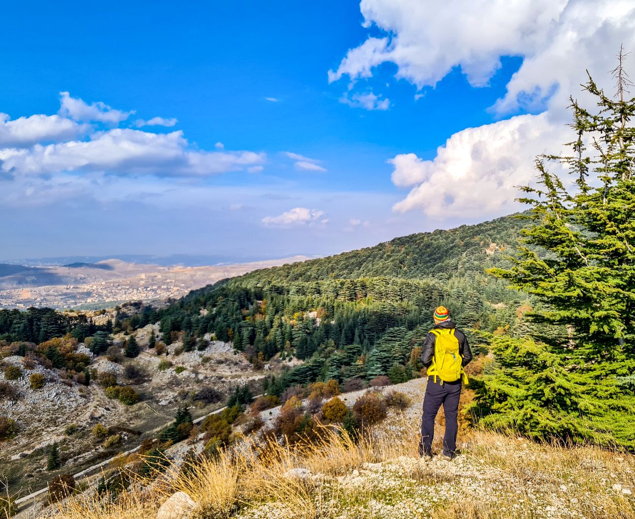
Ain Zhalta at 1900m asl, overlooking the coastal area. The Damour River Basin is situated just 20 kilometers south of Beirut and includes the Damour river basin, the underlying aquifers, the adjacent coastal zone and the marine area that is directly or indirectly affected by the water flow and the area’s socioeconomic activities. The Damour coastal aquifer is the primary source for Beirut water supply.
Its methodology will adhere to the Source to Sea approach and the Integrative Methodological Framework, which serve as guiding frameworks jointly established by GWP-Med, PAP/RAC, UNESCO IHP, and Blue Plan.
Instead of managing water resources in isolated parts—like coastal zones, surface waters, or underground aquifers—the plan takes a bold, integrated approach, treating the entire water system as one connected whole, from inland sources to the ocean. By bringing together diverse disciplines such as hydrology, economics, and social science, this unified strategy tackles complex water challenges head-on. It aims to ensure sustainable water management while honoring the deep interconnection between land, freshwater, coastal, and marine ecosystems.
This initiative aims to support the MedProgramme’s objectives of enhancing water security, building climate resilience, and protecting habitats across the Mediterranean region.
Under GWP-Med’s coordination the project’s experts, in collaboration with the national counterparts from the Lebanese Ministry of Environment (MoE) and the Ministry of Energy and Water (MoEW), will outline the current conditions and the region’s priority issues that the plan should focus upon. An in-depth governance analysis is currently developed to map the existing policy, institutional, legal and managerial frameworks related to the anthropogenic and natural environment in the Damour source to sea continuum and their effectiveness.
This analysis has identified 166 villages and municipalities pertaining to the study area where many economic activities, such as touristic, agricultural, and industrial, take place. The impact of these activities on the area's natural resources will be further evaluated through an analysis of a representative sample of municipalities, selected based on specific demographic, economic, environmental, and water-related indicators.
The above information will provide the baseline for the development of a set of practical and applicable policy, management and technical measures, the preparation of a Water Evaluation and Planning system to support decision-making and an action plan for the implementation of the IMP.
Through the analysis of the entire river system, from the Source-to-Sea approach, the Damour Integrated Management Plan leads the way for holistic management of natural resources in the region and sutstianble protection of coastal zones.
(c) Spyro Klitira
