
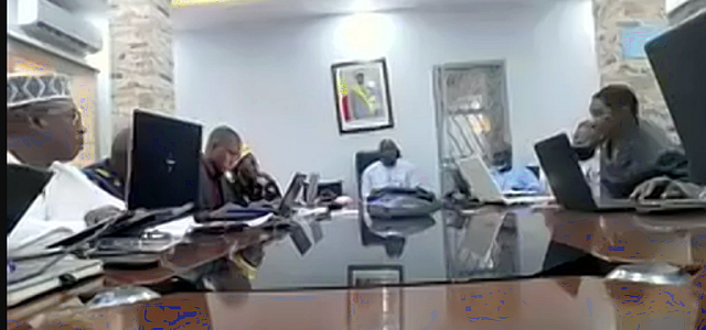
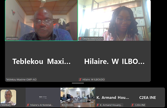
The aim of the one-day meeting was to strengthen the existing early warning system for flood risk in Mali, based on rainfall and water level forecasts, with the help of remote sensing and deep learning. It provided an opportunity to discuss flood and water management in Mali, involving the analysis of hydrometeorological data, hydrological modelling and the definition of warning thresholds. Participants reviewed the methodology, preliminary results and technical challenges involved in acquiring and installing measuring equipment. Participants discussed the planning of the remaining project activities, including the installation of a flood forecasting platform and the preparation of a post-project management mechanism.
 The Chairman of the Mali Country Water Partnership (CWP), Mr Navon CISSE, thanked the technical partners for mobilising the resources needed to carry out the project.
The Executive Secretary of GWP- WA noted the great mobilisation and commitment of everyone since the start of the project, with convincing results that must be sustained.
The representative of the Director General of the Malian Agency for the Environment and Sustainable Development (AEDD) expressed his satisfaction and gratitude for the efforts made to implement the AFCIA Mali project.
 Presentations were given on (1) data analysis and the definition of alert and vigilance thresholds, (2) the implementation of flood risk mapping in the commune of Koula, (3) hydrological models from the regional to the local level, and (4) the tender documents (DAO).
The analysis of hydrometeorological data in the catchment area of the River Niger, in particular in the cercle of Koulikoro and the commune of Koula was presented together with the methodology used to fill the data gap, including the domestication of a global model and sequential analysis, combined with the results of surveys carried out in 36 villages. The aim is to define alert and vigilance thresholds for fluvial flooding, in line with the requirements of the project.
 A flood forecasting project for the commune of Koula, detailing the collection and analysis of hydrological and meteorological data, was also presented, with explanations on the use of models to generate simulated flows, as well as risk mapping for 36 villages.
Participants also discussed the project to create a decision-making tool for flood forecasting. The importance of obtaining accurate meteorological data was highlighted, as were the budgetary challenges involved in purchasing appropriate equipment.
The provisional report was validated, subject to comments and amendments being taken into account.
 The Republic of Mali has obtained funding from the Adaptation Fund through the Adaptation Fund Climate Innovation Accelerator (AFCIA) programme to implement the ‘Real-time mapping of flood risk in Mali based on rainfall forecasts, remote sensing and deep learning’ project. This project is being implemented with the technical assistance of the Global Water Partnership in West Africa (GWP-WA) under the coordination of the Climate Technology Centre & Network (CTCN).