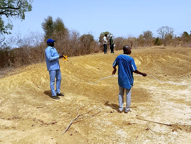
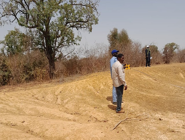
The mission made it possible to carry out the hydrological investigations needed to characterise the sites already predefined by the consultants, and to identify potential sites for the installation of water level sensors to feed the hydrological model for flood prevention in the commune of Koula.
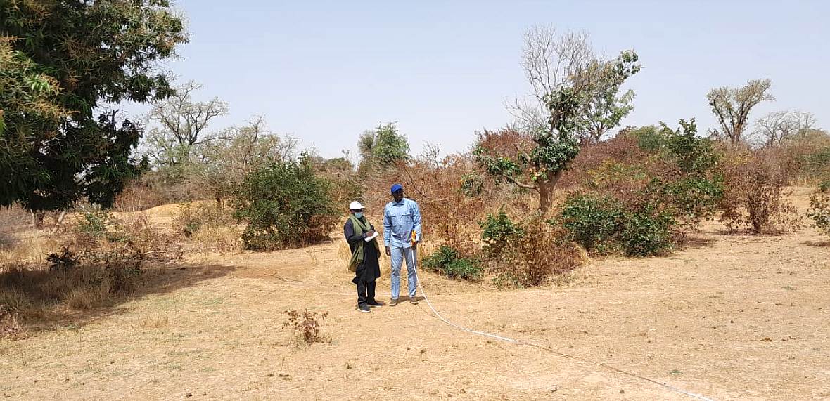 The exploratory mission conducted by the National Directorate of Hydraulics in collaboration with the Country Water Partnership of Mali (CWP-Mali) from 20 to 22 February 2025 identified sites for the installation of water level sensors.
On the basis of technical, economic and social criteria, favourable sites were selected for in-depth field reconnaissance.
The optimum locations for the installation of the equipment were determined on the basis of data requirements and site characteristics, ensuring that the chosen sites would allow accurate and continuous measurement of water levels, rainfall and temperature. Recommendations for the installation and maintenance of the measuring equipment were made.
 This mission is part of the implementation of the ‘Real-time mapping of flood risk in Mali based on rainfall forecasts, remote sensing and deep learning’ project, run by the Climate Technology Centre & Network (CTCN) with technical assistance from the Global Water Partnership in West Africa (GWP-WA).
Project activities have been underway since March 2024, and to date, actions relating to flood risk mapping and the implementation of hydrological models in the commune of Koula in the cercle of Koulikoro have been completed by the members of the working group on 06 February 2025. The tender documents (DAO) for the acquisition of hydrometric equipment to be installed in the commune of Koula were amended and the members of the working group recommended that this fact-finding mission be organised to better identify the sites for installing water level sensors in the rural commune of Koula.