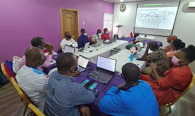
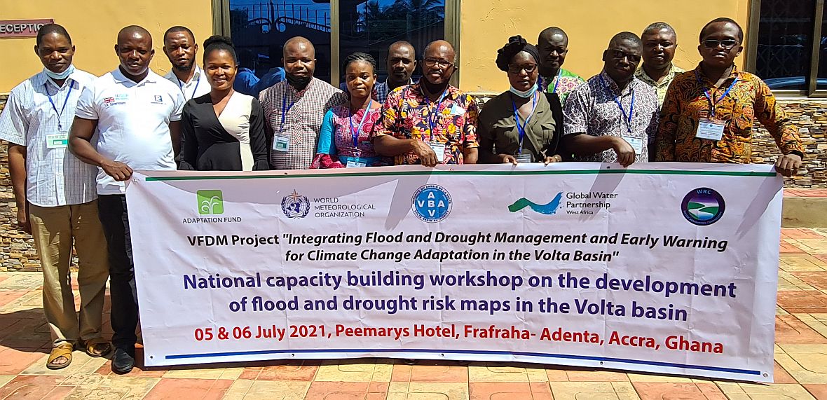
The flood and drought maps, when developed, should help the countries to have decision tools on the menace of floods and droughts in a multi-dimensional perspective.
The workshops are part of the activities of the project “Integrating Flood and Drought Management and Early Warning for Climate Change Adaptation (VFDM) in the Volta Basin» funded by the Adaptation Fund.
The project is implemented by the World Meteorological Organisation (WMO), the Volta Basin Authority (VBA) and the Global Water Partnership in West Africa (GWP-WA).
 The implementation of the VFDM project involves the active participation of national agencies (in charge of meteorology, hydrology, water resources management, water protection, civil protection, etc.), regional institutions and WMO partners, such as the CIMA Research Foundation, the Italian Civil Protection Department, UNITAR / UNOSAT, IUCN and CERFE among others.
