To this end, a online first national technical workshop on flood and drought risk mapping in the Volta basin was carried out with technicians in each of the six countries (Benin, Burkina Faso, Ivory Coast, Ghana, Mali and Togo) of the Volta basin with the support of the CIMA Research Foundation in collaboration with IVM Institute for environmental studies from the Vrije University.
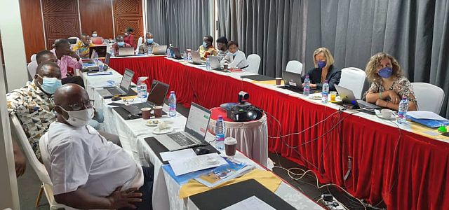
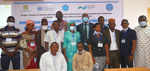 A second technical workshop was held in each of the six target countries from end September throughout October 2021 with the objective to develop the knowledge necessary for the assessment of vulnerability and impact to floods and exposure to drought.