
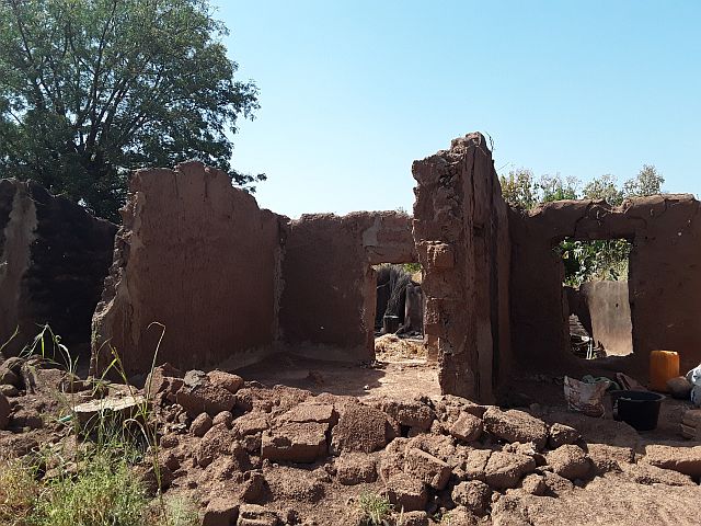
This activity is part of the implementation of the Project "Integrating Flood and Drought Management and Early Warning for Climate Change Adaptation in the Volta Basin (VFDM)" funded by the Adaptation Fund. It aims at developing flood and drought risk maps for the Volta Basin according to a participatory approach taking into account hazards, existing vulnerabilities, exposure, risks and uncertainties in relation to the socio-economic perspectives of each country and current and future climate scenarios.
In March, technicians were selected to support the development of flood and drought risk maps in each of the six national portions of the Volta basin. Two exchange sessions with practical exercises were held in French and English with the selected technicians to inform them of the different tasks to be carried out, the schedule of activities, the use of the platform for online training and the types of data to collect. Sub-groups were set up in each country to facilitate data collection.
 During the month of April, the sixty-two (62) technicians will follow online training on the assessment of exposure and vulnerability to flood and drought risks and then on the introduction to the use of the QGIS mapping software. The necessary data will be collected for the assessment of exposure and vulnerability to flood and drought risks in the Volta Basin. The project team will use this month of April to prepare the first batches of workshop for the elaboration of vulnerability and exposure maps to floods and drought for each national portion of the Volta Basin.