The launching workshop brought together representatives of all stakeholders in the water sector, including locally elected councils. The Chairman of GWP West Africa (GWP-WA), Mr. Hama Arba Diallo, who took part in the ceremony, said, “now that Gambia has its Partnership, it is the responsibility of the stakeholders at country level to make it a viable and functional platform.”
The Director of Water Resources of the Gambia, Mr. Pa Ousman Jarju, recalled that it was in 2009, during the development process of the IWRM roadmap, that the need for implementing a Country Water Partnership in Gambia was deemed necessary, and since then GWP has followed and technically supported the process of its establishment. The feasibility study made for the formation of GWP Gambia highlighted the strengths and weaknesses of the country’s water resources governance and the findings of the study has been discussed and proposals were made for its improvement and finalization.
Gambia has developed and adopted its IWRM roadmap and has received support of the African Water Facility of 2.09 million Euros for its implementation. The director of water resources revealed that the implementation of this roadmap will start early in 2012, and that the government was ready to involve GWP Gambia in its implementation.
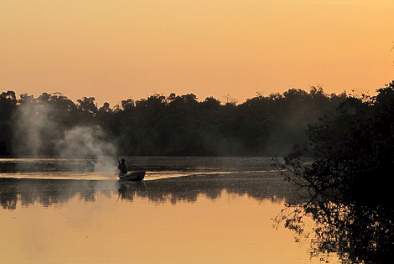
Gambia is situated around the Gambia River, which flows through the country's centre and out into the Atlantic Ocean. The Gambia River Basin is shared between Senegal (77.5% of the basin area), Gambia (13%), Guinea, (9%) and Guinea-Bissau (0.5%).The country area is 11,295 km² with an estimated population of 1.7 million.
The Gambian landscape has two major geomorphological units: the uplands and the lowlands. On the upland plateaus, weathered tropical soils are found which have low intrinsic fertility and low water retention capacity, but good drainage conditions. The lowlands include the floodplain of the River Gambia in the Upper Valley (UV), and tidal plains (Bantafaros) in the Central Valley (CV) and Lower Valley (LV). The soils of the lowlands are flat, fine textured, and poorly drained.

